

Focus on Competition
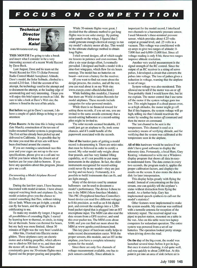
Technical Director
Steve Kaluf skaluf@modelaircraft.org
This month I'm going to take a break and insert what I consider to be a very interesting account of a recent world record by Dave Beck.
Last August, Dave and his team set the world record for F5A-73 (Solar Powered Radio Control Model Aeroplane) altitude. Dave's model, the Solar Solitude, climbed to a record 4,210 feet. I find the account of his attempt, the technology used in the attempt and to document the attempt, and the leading edge of aeromodeling very interesting. I hope you will enjoy this brief report as much as I did. Be sure to take a look at Dave's Web site; the address is listed in the text of this article.
But before we get to Dave's account, I do have a couple of quick things to bring to your attention:
Pylon Racers
At the time this is being written (late March), construction of the ten sets of trailer-mounted barrier systems is progressing. The first set has already been picked up and delivered to California. It is possible that by the time you read this all ten sets will have been distributed around the country.
If you are running a sanctioned race this year and your cages are not up to the new specifications, please give us a call and we will let you know where the closest set of barriers are for your club to borrow. If you have any questions about this program, please give me a call.
Documenting a Model Airplane Record
by Dave Beck
During the last few years, I have become fascinated with model aviation. I have always enjoyed watching birds and airplanes fly, but model aviation gives you the chance to control something that flies, without risking life or limb. When you get it right, a model can fly for hours, and the sight of this is exhilarating to me.
To make my models fly longer, I began to learn all possibilities of extending flight. I started by learning how to thermal, or circle, in rising hot-air thermals. Some can thermal for hours, but my luck was more limited. About 30 minutes of flight was the very best I could do.
After this, I looked into electric-motor gliders. These airplanes carry an electric motor and a folding propeller, which allows one to climb to 500 feet or so, and then shut the motor off to thermal. This method consistently gave me 30-minute flights once I figured out the proper gearing and propeller.
While 30-minute flights were great, I decided that the ultimate method to get long flights was to use solar energy. By putting solar panels on the wings, I figured that I could generate enough electrical energy to run my model's electric motor all day. This would be the ultimate challenge method to obtain long flights.
I tried several designs, all of which taught me lessons in patience and cost overruns. But after a six-year design effort, I eventually prevailed. I designed and built a model with a nine-foot wingspan, which flew for six hours nonstop. The model has no batteries on board—nor even a battery for the receiver.
If you want to find out more about the design process, the crashes, and all the rest, you can read about it on my Web site: www.execpc.com/~dbeck/solar.html.
While building this model, I learned that there are world aviation records for model airplanes. These records include categories for solar-powered models.
While there is no financial reward for setting these records, if you set one, you are invited to the same awards ceremony that a record-setting balloonist or a record-setting pilot might be invited to.
The solar records seemed breakable. If I could just get an airplane to fly, take some chances, and if I could handle all the paperwork associated with the records, I might be invited.
One of the hardest parts of getting a model record is documenting it. There are strict rules that must be followed in order to certify a record. My solar model only weighs about four pounds, and has very limited lifting capability, so it's not possible to put many instruments in the airplane. In fact, the older instruments recognized for record-setting could never fly in my model—they are just too big and too heavy. Fortunately, it is possible to build instruments that can fit and are light enough.
Many of the devices used by amateur ballooners can be used to document a model's performance. The device I chose to use is the MIM (Micro Interface Module). This PIC (Peripheral Interface Controller)-based device can read five different voltages to 8-bit precision, as well as an 8-bit digital port, and convert the readings into a 1,200-baud packet signal that is plugged into an HT microphone input. The MIM can also read a data stream from a GPS receiver, and send this over the packet too. The MIM costs about $100 and can be ordered from M. Clement (www.agrelo.com/clement.html).
This key piece of hardware really helps to make record documentation easier. With the proper sensors, the module, and an HT in the airplane, you have a complete telemetry system for the model.
Since there are only five channels of voltage measurement available, one has to pick sensors carefully. Since altitude is important for the model record, I interfaced two channels to a barometric pressure sensor. I used Motorola's three-terminal pressure sensor, which provides about 4.25 volts output at ground level, and 0.25 volts in a vacuum. This voltage was conditioned with op amps to give two ranges of altitude: 0–7,000 feet and 6,000–15,000 feet. Since all voltage readings are only 8-bit, these two ranges improve altitude resolution.
Another very useful measurement is the signal strength of the RC control. Since the output of an RC receiver is a string of servo pulses, I developed a circuit that converts the pulses into voltage. The loss of pulses gives a reduction in voltage, warning that the airplane is out of range.
System voltage was also monitored. This allowed me to tell if the motor was on or off. You probably think I would know this, but let me explain. The motor controller that I use turns off the motor if the system voltage goes too low. This might happen if a cloud passes over, so at high altitudes the motor might go off. But if this happens, the system would record whether the motor was on or off by sending the motor on/off command and then the motor on command.
The last channel to be sent is the temperature. This channel is used as a sanity check of the other readings, and for verifying that the system was calibrated at the temperature seen in the airplane.
All of this hardware would be useless if I didn't have good software to display the telemetry data. Fortunately, a local ham, Gary Keating, volunteered to write me a Windows display program that shows all data in an easy-to-understand form. The data comes in over a serial port and is stored on disk. The program displays the telemetry in a graphical form, and also prints a log file. The results for the record flight are shown here.
This display helps greatly with flying the model. Instead of concentrating on the data stream, one can quickly tell the airplane's status without distraction from flying the model. As a further help, Gary has implemented speech routines to call out the model's statistics.
Other features were implemented to make the system user-friendly. My model was outfitted with a summing antenna for reception of the telemetry signal. The received signal was tapped to a spectrum analyzer to determine the best channel for reception. The antenna was mounted on a vane to point the antenna at the sun.
On the day of the big event, the model was launched several times before it got its legs. But once it started climbing, it did quite well, and rose quickly to about 2,000 feet. At this point it got into an area of sink (where air is going down) and gradually lost altitude. But then we found a thermal and it started a climb that took us past 4,000 feet.
The false starts and the climb to 4,000 feet took several hours and put the model on the edge of visibility. It became a tiny dot in the sky and lost all definition. I could only tell which way it was facing by watching awhile to see which way it went. It's a scary feeling when you can't tell which way it is pointed!
At the maximum altitude, I heard a scary sound: my transmitter's low-battery warning beeper. This meant I had only a few minutes of time left in this battery pack. I had to switch over to a fresh transmitter shortly, or lose control.
At a critical time like this, no one could find the backup transmitter, so I took my eyes off the model and searched for it myself. I found it, switched transmitters, and immediately the model went into a dive, which was hard to see. My son called out altitude readings as the model rapidly lost hundreds of feet.
After some major corrections, I eventually regained control of the airplane when I commanded the model to turn off the motor. I think the low-level electric motor noise was confusing the model's receiver. I later found that the model had lost 724 feet in 24 seconds.
After regaining control, I decided that we had already broken the previous record by 1,000 feet, so there was no need to go any higher. We left the motor off and waited for the model to come down. It took about 25 minutes for the model to come down from that altitude.
Once the flight was over, it was time to document it. All sensors and airplane telemetry equipment were put into a test chamber, along with a certified altimeter. A vacuum was put on all sensors, and the altimeter was used to get a precise calibration. The temperature sensors in the airplane were duplicated in the test chamber to get the best accuracy.
All of this resulted in a dossier that was submitted for obtaining the record.
What's next?
Since I have a working model and working telemetry equipment, I plan to add GPS tracking to the system. I had hoped to use GPS for the record flight, but the equipment was too heavy; more power is needed. With a new, larger wing and about 50% more power, the model should be able to carry the GPS, which would allow me to fly the model 100 miles across the Wisconsin countryside.
The ground display software has been set up for a testing display. This tells how to steer the model in order to fly directly to a waypoint. By entering the proper coordinates into its waypoint database, it will be possible to chart a course across the state, and fly the model along that course.
It's a neat project. If you're connected to the Internet, check out my Web site to keep up with the latest happenings: www.execpc.com/~dbeck/solar.html.
Transcribed from original scans by AI. Minor OCR errors may remain.

